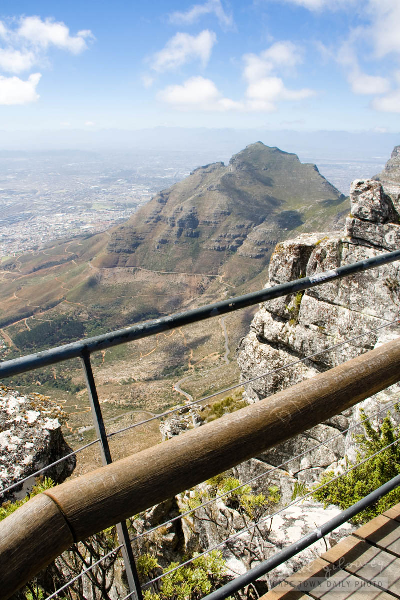
When viewing Table Mountain from it's post-card perspective, Devil's Peak (the subject of today's photo) is the tall pointy mountain located on the left side of Table Mountain. Based on this photo, you may be surprised to find out that even though it doesn't look that way, at 1000m above sea level, Devil's Peak is a mere 87 meters shorter than Table Mountain!
Just like Table Mountain, one is able to hike to the top of Devil's Peak. However, apparently it's only really safe to hike up the peak from it's western front - from the saddle between it and Table Mountain... and then only by experienced hikers, not casual walkers. :)
Helen
There’s nothing really difficult about the climb from the Saddle to the top of Devil’s Peak – it is a long slog up there but the views are totally worth it!
Paul
Post authorHi Helen, I heard that in a particular spot it can be pretty treacherous in poor weather (I guess wet or windy conditions). What do you think?
Helen
I agree it would be tricky in bad weather. Definitely worth avoiding that area altogether if the south-easter is blowing, as it *howls* through the Saddle and up top. The path itself isn’t nice stone steps (like Platteklip for example) but loose gravel, so it would not be easy in the wet either. But on a still sunny day it is a straightforward walk (although long and steep). I don’t like heights at all, and I managed just fine :-)
And as I said, the views from up top are fantastic!
To the best of my knowledge it’s the routes that go up the other side (from the front, above Woodstock) that are very exposed and much more challenging. For serious climbers only.
Paul
Post authorCool, thanks for the detail Helen. I plan on making the trip on a cool, yet dry and windless day. :)
Pingback:
Somerset Road, Green Point | Cape Town Daily Photo