Tag Archives: traffic sign
3-Road intersection

Stop Khoza

Could they not have told us before?

We've taken Tafelberg Road along to the Cable Way many times, but I've never bothered driving further along the road to see exactly where it goes. We decided to take a drive along the mountain road, heading towards the southern suburbs, hoping to eventually get through to Newlands.
All was going well until a few kilometres into our journey, when we suddenly came across what you see in the photo. I mean, really, could they not have warned us that the road was barricaded? I took a look on Wikimapia and found that the road actually does lead down to De Waal Drive, which is a hop, skip and a jump to Newlands.
Even though it took us to a dead end, the view from Tafelberg Road is spectacular. It's actually worthwhile parking near the Cable Way and taking a walk along to the start of the Platteklip Gorge hiking trail, one of routes to the top of the mountain.
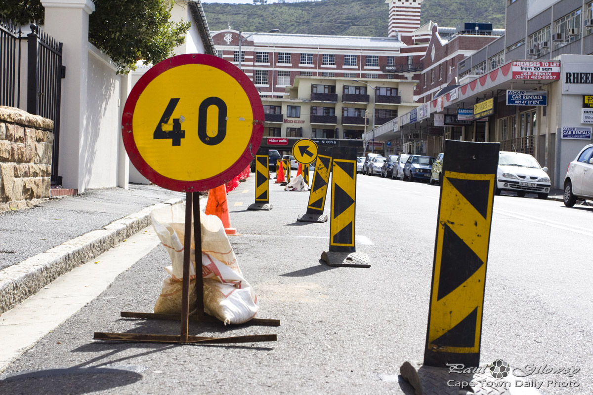
Come with me, down Paradise Road

Today marks an interesting sporting anniversary: 120 years ago today the very first cricket test match was played in Cape Town. The match was the second of a 2-test series; the first test was held in Port Elizabeth earlier in the month, and the second hosted at our very own Newlands cricket grounds. South Africa unfortunately lost both tests and the series to the then-better ;-) English team.
Union Avenue and Paradise Road are both part of the M3, a route normally taken by most people going to watch cricket at Newlands. The M3 is the major road leading from the City through the southern suburbs of Cape Town. It can be a little confusing, as sometimes people will talk of De Waal Drive, or the Blue Route, and mean exactly the same road. Let me clear up a bit of confusion by listing the various names given to parts of the M3. Starting from Cape Town's side of the M3, we have: Buitensingel Street, Orange Street, Annandale Road, Mill Street, Jutland Avenue, De Waal Drive, Hospital Bend, Rhodes Drive, Union Avenue, Paradise Road, Edinburgh Drive and finally, Simon van der Stel Freeway (colloquially known as the Blue Route). Got that? ;-)
Don’t even think about stopping

In the background of this photo you can see the arches of the Provincial Legislature Building, which houses the Western Cape Provincial Parliament. The building is located in Wale Street, more or less opposite Mandela Rhodes Place.
If you see a sign like the one in the foreground, it means that you cannot stop your vehicle at the side of the road - even if it's just to pick someone up or drop someone off. This particular sign is a temporary one (they were doing some work at the side of the road and presumably didn't want anyone stopping while they were busy), but the markings on a permanently mounted No Stopping sign would be identical.
Rules of the road

So there are rules of the road and rules of the road, and every once in a while for some (and more frequently for others!) these rules get tested and broken.
The council is busy re-tarring and widening the R300 road (between the N1 and N2 highways). For some time I've noticed what looked like speed cameras along the road (only a couple of kilometres apart), but since I could see no flash nearby I assumed that the cameras were not yet working.
Only yesterday did I learn that cameras that don't require a flash were being tested in our province! They apparently take photos of every car that passes by and use the time that it takes the vehicle to move between the two cameras to determine its average speed.
Now, I was recently in an awful hurry to get to the airport... let's see what the mail holds in store. :-/