Tag Archives: hike

The hike to Crystal Pools

Steenbras River mouth
I love hiking in or along mountain rivers and swimming in dark brown pools, so since the day that I heard about it I've wanted to hike up to Crystal Pools, near Gordon's Bay. The problem was that we could find very little information on the Web about exactly where the hike is located and how to purchase permits. After scouring the Internet we spent 2 hours of playing telephone tag, trying to find someone at various nature conservation departments to tell us (a) where the hike starts and (b) where to purchase a permit.

We called 13 (or more) telephone numbers from Cape Nature to the Koggelbaai Nature Rerserve and everyone gave us a different story. After driving out to more or less where we imagined the hike would start, we eventually we located the unmanned entrance to the hiking trail and found a visitors book that contained a page that had been stamped with an official-looking stamp. This (the last number at the dead-end of telephone numbers) proved to be the right one! The ranger on the other end of the line used his 2-way radio to contact the ranger on who should have been manning the entrance to the hike station... and we were told that it was okay for us to go in without purchasing the R15/p permit. What an anti-climax it was after 2 hours of phoning around!

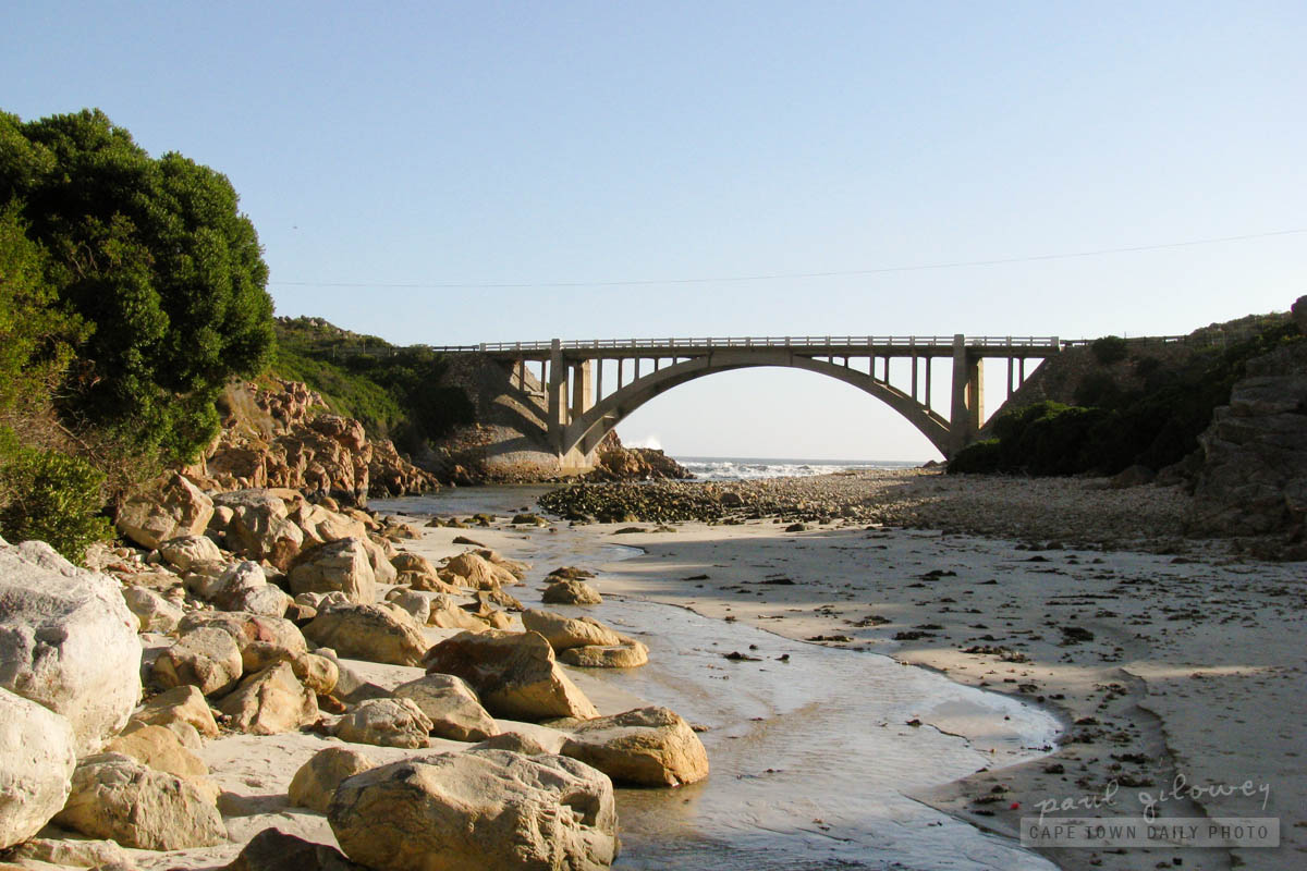
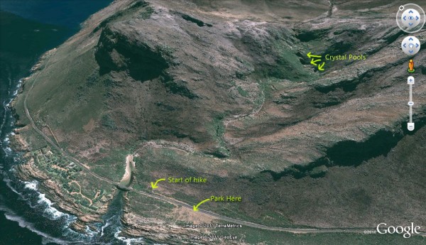
So, to save you the trouble, see the Google Earth image below (and this map) that shows the location of the gate (where, according to some, you can purchase the permit) as well as the location of the three pools - about 1.7km up the Steenbras river. Today's main photo is of the bridge that crosses over the river, and you can see that bridge to the bottom left of the Google Earth photo below.

To find the entrance to the hike, drive about 6km outside of Gordon's Bay, towards Rooi Els. You'll find parking about 100m after the Steenbras river bridge. Leave your car there, cross the road, and walk back in the direction of the river. You'll see the little wooden cabin where you can theoretically purchase a permit.

Before planning your day, be sure to call 021 856 4975 and confirm that the gate will be open and that you are able to purchase a ticket there. Also, just because we had such a run-around, be sure to get the name of the person that you speak to at that telephone number. :)

EDIT: See Githa's comment below for more information about booking.

If you'd like a preview of what you'll see on the hike, take a look at Coda's photostream on Flickr - he has a few great photos of the hike and the pools at the end.
Map to Crystal Pools

Tokai Plantation – a forest to walk, ride and hike in

Tokai Forest
The Tokai Plantation forms part of the greater Tokai and Cecilia plantations and has been run as a commercial plantation since its establishment in 1885.

Fortunately, even though the plantation is a commercial site, it's open to the general public - offering the opportunity to leave the city and suburbs for a short walk on the slopes of the Table Mountain mountain range. The forest has a picnic area (a little before the entrance to the plantation), but IMO it's far nicer to enjoy a snack at the plantation's tea room and then take a short walk into the woods.

For details about the MTB trail, visit mtbroutes.co.za - they have all the info you'll need to plan a fun MTB ride.

Flowers on a hill

Flowers on the hill
In my previous post I mentioned that I'd taken a walk to the top of Tygerberg Hill. The hill forms part of the Tygerberg Nature Reserve - but as not to repeat myself, you can read more about it in my post about the reserve.

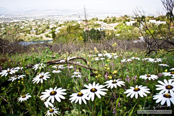
The actual reason for my ascent was to see the multitude of flowers that have sprung up all over the hill. I took the walk just after lunch time, and while (as you may know) the light isn't great for photos around that time of day, it's great for viewing the flowers!

Cables and towers of Tygerberg Hill

Cables and towers
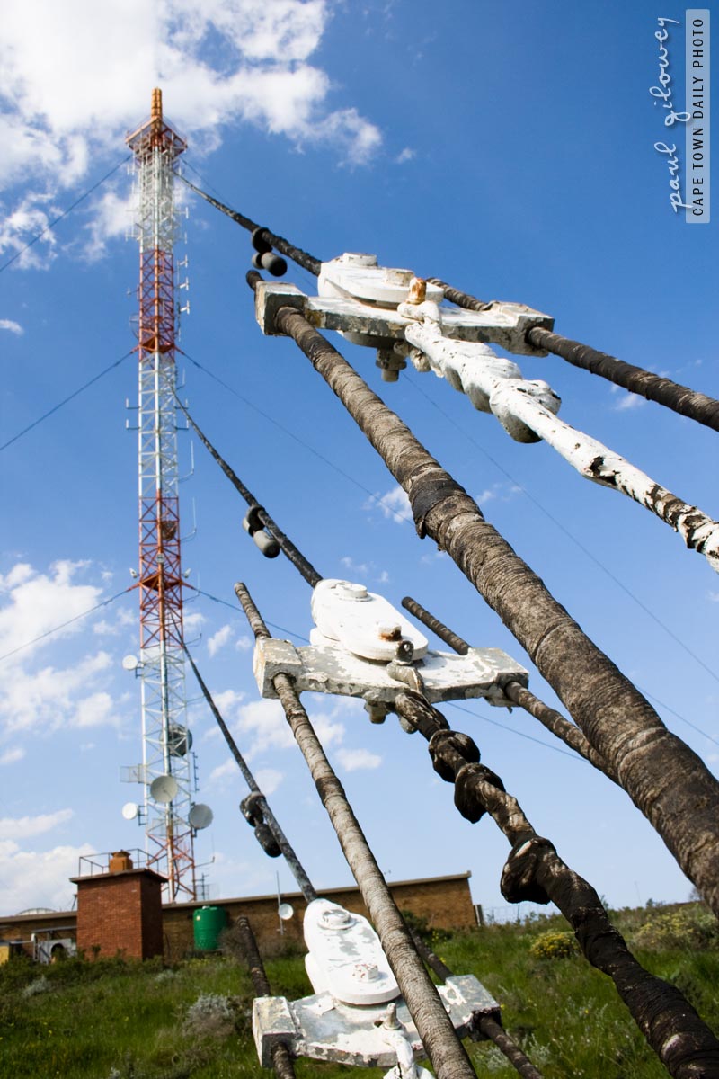
Observing this tower from an ordinary perspective doesn't normally hold much interest for the casual passerby. It's only when looking closer from a different angle that the normally-unappealing view transforms into something a little more interesting.

I spent a little while observing the tower before taking this shot. Don't you think it offers a little more interest than this, more traditional photo? :)

This tower is one of the radio and microwave towers on top of Tygerberg Hill. To be honest though, that's only my assumption. I'm not clued up enough to know for sure what the receivers and/or transmitters on this tower are used for. Do you know? Please leave a comment to let us know.

Over the next two or three days I'll share with you the reason for my ascent to the top of Tygerberg Hill. :)

Map to the top of Tygerberg Hill

The top of Tygerberg Hill

The Tygerberg Nature Reserve was opened in 1973, which makes it only a little older than I am. I never realised it before, but the 300-hectare reserve has 460 plant species, of which 12 are endemic to Cape Town and three endemic to the reserve itself! Besides for these, the reserve is home to about 50 different mammals, 125 species of bird, 35 reptile species and several different types of frogs.

Yesterday's photo was taken to the left of this one, more or less where you see the people standing - far in the distance. The setting here is beautifully peaceful with marvel-worthy views of Table Bay, Table Mountain, the Cape Flats, False Bay, and the Boland mountain range.

Two of our readers requested directions to the reserve, and since it's a little tricky to explain I drew a map using Google Maps. So, click through here for a map to the top of the Tygerberg Nature Reserve. Once the satellite image has loaded, wait a moment for the route to load. :)