Tag Archives: hiking

Hiking Lion’s Head from Signal Hill

Signal hill, a view from Lion's Head
Friends enticed us into walking up Lion's Head on Friday evening. Truth be told, they never had to convince us - just look at the view!

We only arrived at about 19h00, a little later than we'd hoped. By that time our friends had already walked about 70% of the way up to the top, and we'd driven about a kilometer past the start of the hike to find a spot to park. We knew that we wouldn't make it to the top by sunset, so we decided to take a different route, around the right side of Lion's Head - starting from Signal Hill.

The route we took was quite a long, comfortable, footpath that winds around the top of Sea Point and Bantry Bay, finally taking a steep switchback route to meet up with the main path to reach the summit. This photo was taken on the switchback, just before reaching the main path.

I'll post a few more pics in the next day or two. It really was a pretty pretty sunset from above.
The Hermanus Cliff Path

The Harmanus Cliff Path
The Cliff Path in Hermanus isn't quite as scary as it sounds - there are cliff's, shear drops down to the rocks below, but the pathway is well kept and as long as you don't walk with your nose high-up in the air, you're unlikely to fall off the edge. :)

The only annoying thing is that we came across people who were walking their two unstable-looking Alsatians along the path... at times without leashes!

Walking though the fynbos

Walking though the fynbos
This is the last of the four photos of our hike at Hillcrest. After my previous photo of the Hillcrest vineyards and Table Mountain, I thought I'd show you this perspective - a little further on into our hike, at a time when we weren't quite sure which route to follow back to the restaurant and our car.

If you look carefully you can faintly see the white buildings on the right side of the photo, almost in the middle. While trails had arrows and were marked "Hillcrest", we weren't sure which trail would be the shortest. It's almost impossible to see where trails lead and basically ends up being a flip of a coin that causes one to choose a 30 minute walk back over a 3 hour hike over hills and down dales.

Hillcrest to Table Mountain

Hillcrest to Table Mountain
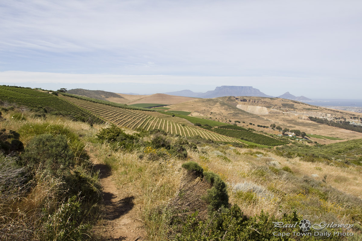
The views from the dusty Hillcrest's (map) hiking trails are spectacular - much more so than what I've shown in this photo.

If you're keen to amble though the vineyards, along one of the trails, arrive by 8am, take an exploratory walk through the vineyards, and end off the outing by visiting the estate's restaurant for breakfast. Be sure to take plenty of sunscreen and water along - it's surprisingly easy for a quick walk to turn into a two-hour trek.

Hiking in Durbanville

Hiking in Durbanville
Kerry-Anne and I have taken to doing short hikes on weekends. This particular one was at Hillcrest in Durbanville - along a mountain bike trail that leads though the vineyards.

Only after the hike did we learn that this area is well known for the Cape Cobra - an extremely venomous snake. While we never actually saw snakes, the sign "Snake Alley" (posted along one of the routes we walked) made a whole lot more sense, and we felt really grateful for not encountering any of the slippery, slithery slinkies.

Where to walk on Signal Hill

Where to walk on Signal Hill
Isn't it cool how the buildings appear to be rising from beneath the ground? I took this photo while walking on Signal Hill (on Saturday morning). While not exactly the safest area to walk alone, it sure is pretty and I'll be sharing a couple of pics I took while walking over the next couple of days.

In case you're in the mood to grab a few buddies and walk this path, I've drawn a map that starts where I parked and follows a route along a footpath. The walk will take around 30 minutes, depending on how many photos you stop to take. :)

Running in the Majik Forest

Running in the Majik Forest
The Majik Forest mentioned in my previous post is used by dozens of mountain-bikers, hikers, and runners every day.

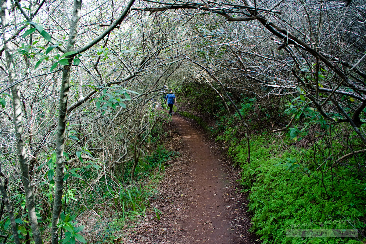
The trail through the forest is a narrow one that most often doesn't allow for two people to walk side-by-side, and often results in runners or hikers quickly scrambling to the side of the track as high-speed bikers weave their way along the designated MTB trail. :)

Read a little more about the Tygerberg Mountain Bike Club and the history of the forest on their website.

Forests to walk in

Forests to walk in
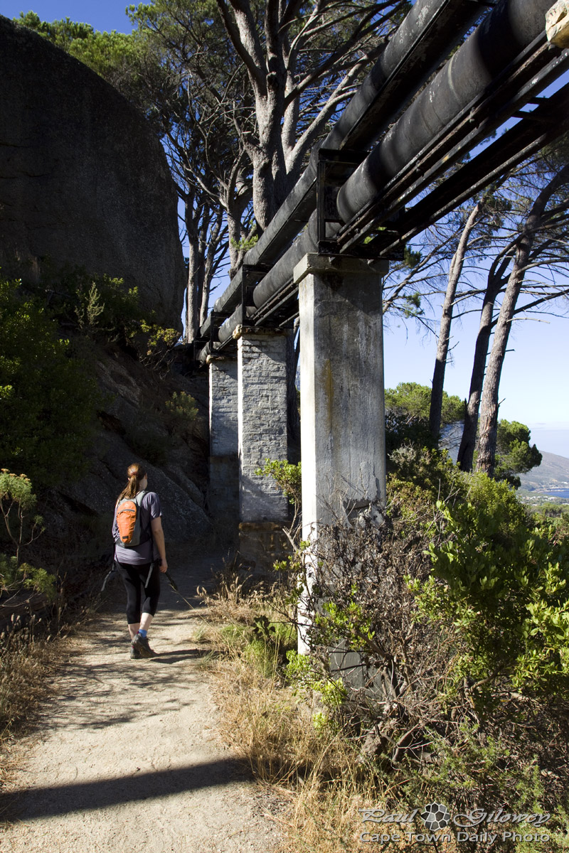
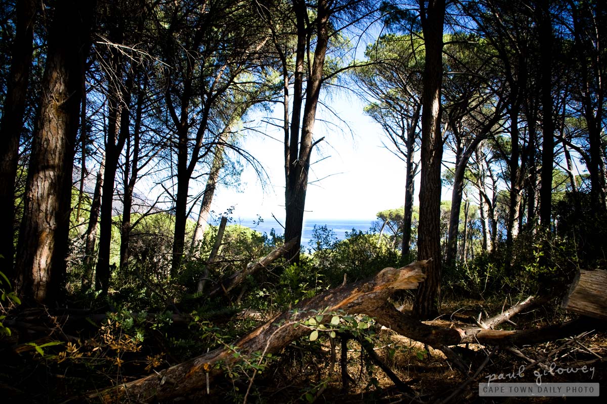
While staying in Cape Town, and if you find accommodation close to the mountain (or Signal Hill and Lion's Head) you'll find plenty of easy-going hiking trails within walking distance. It's especially awesome to take an early-morning walk among the pine trees while the sun is rising and the air is crisp and cool.

However, don't walk alone - for many reasons it's just not safe. The first is in the event that you injure yourself (which likely if you suffer from dyspraxia :P ) you'll have a buddy to help you, and the second reason is that (although the chance is remote) you may come across someone with ill intent.

Don't go overboard now, I walk the trails without ever worrying about this problem, but Cape Town is a city with it's bad elements - so best be safe and not ruin your vacation.

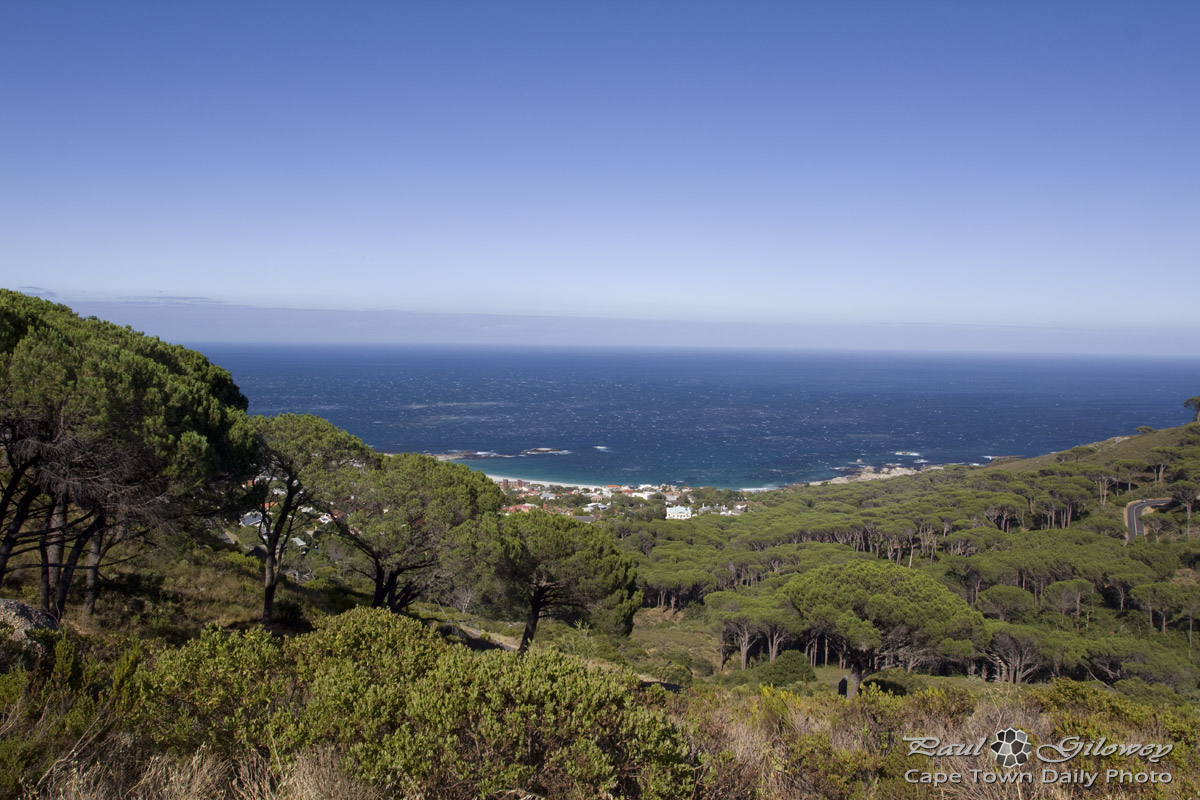
I took this photo on the slopes of Lion's Head, just above the Round House restaurant that overlooks the Atlantic Ocean and Camps Bay. If you drive there, you'll find a few places to stop and park your car so that you can take a short walk amidst the smell of fresh pines.

Table Mountain trip : Devil’s Peak (9#10)

Devil's Peak
In case you missed it, see the previous post in this series.

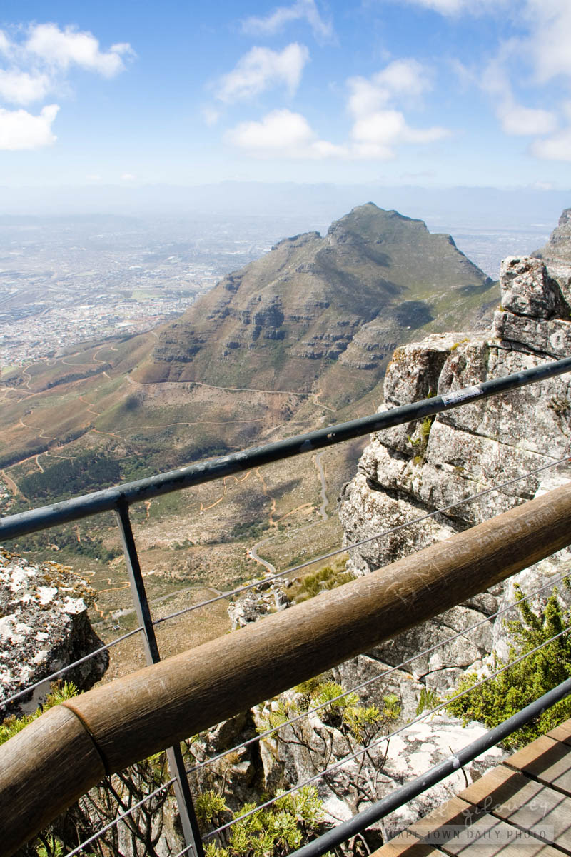
When viewing Table Mountain from it's post-card perspective, Devil's Peak (the subject of today's photo) is the tall pointy mountain located on the left side of Table Mountain. Based on this photo, you may be surprised to find out that even though it doesn't look that way, at 1000m above sea level, Devil's Peak is a mere 87 meters shorter than Table Mountain!

Just like Table Mountain, one is able to hike to the top of Devil's Peak. However, apparently it's only really safe to hike up the peak from it's western front - from the saddle between it and Table Mountain... and then only by experienced hikers, not casual walkers. :)

Hiking on Table Mountain

Hiking on Table Mountain
Each day dozens of people spend hours walking, hiking and climbing on Table Mountain. I think because of its close proximity to the city, and the beautiful views, people tend to forget how vulnerable they are when out visiting Mother Nature.

Each year we hear of people getting lost on the mountain, having narrow escapes from tragedy, and some times regrettably not escaping unscathed.

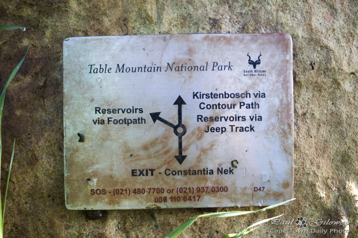
If you're new to Cape Town, consider joining an experienced group when venturing out onto the mountain, and take care to follow these safety guidelines. And, just to be safe, keep the emergency telephone number handy on your cell phone: 086 110 6417.

Lion’s Head

Lion's Head
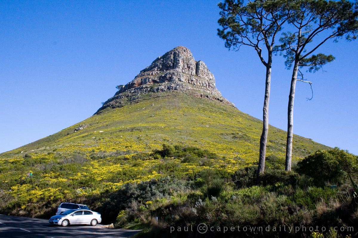
I know that it doesn't look much like a lion's head from this angle, but trust me, from a particular angle, a little further away - this hill looks just like a lion's head.

One of the coolest experiences in Cape Town is to hike up Lion's Head during a full moon. It's not too dangerous as there's a pathway that leads in a spiral all the way around the hill, right the way to the top. Once up there the city lights, the boats in the harbour and in the bay, and the stars of the sky look simply awesome.

If you're concerned about your safety - don't be. On warm summer evenings there are dozens of people making there way up to the top, so you don't have to be worried about being stuck alone on the top of a lonely hill. :)

Could they not have told us before?

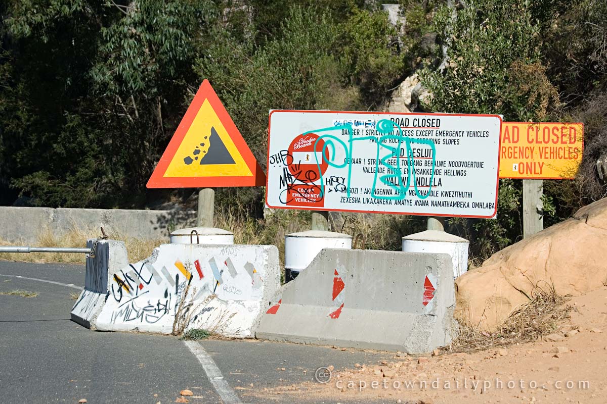
Road closed!?

We've taken Tafelberg Road along to the Cable Way many times, but I've never bothered driving further along the road to see exactly where it goes. We decided to take a drive along the mountain road, heading towards the southern suburbs, hoping to eventually get through to Newlands.

All was going well until a few kilometres into our journey, when we suddenly came across what you see in the photo. I mean, really, could they not have warned us that the road was barricaded? I took a look on Wikimapia and found that the road actually does lead down to De Waal Drive, which is a hop, skip and a jump to Newlands.

Even though it took us to a dead end, the view from Tafelberg Road is spectacular. It's actually worthwhile parking near the Cable Way and taking a walk along to the start of the Platteklip Gorge hiking trail, one of routes to the top of the mountain.