Tag Archives: city
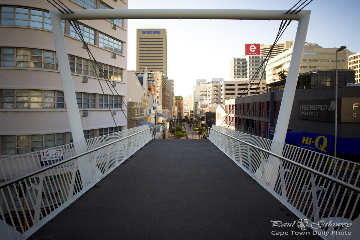
View from the end of a bridge 3#3
View from the end of a bridge 2#3
View from the end of a bridge 1#3
Into Green Market Square
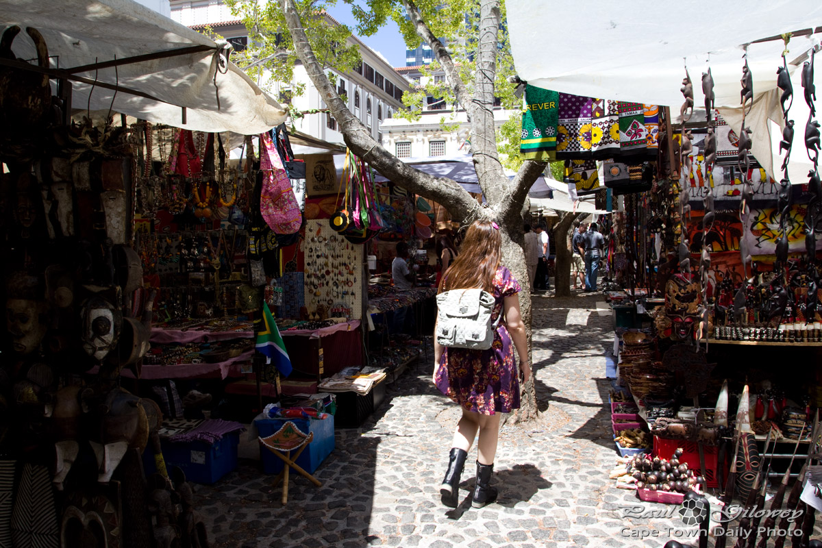
The sad thing about the immediate surroundings is that the restaurants are actually shockingly-poor representations of what South Africa has to offer. We visited four restaurants located around the market and found service the service either to be extremely slow and unprofessional (even though the restaurants particularly weren't busy) or the food to be somewhat disappointing.
Perhaps we just picked the wrong restaurants, at the wrong time, but I can't imagine I'll ever be tempted to have lunch at a restaurant around Green Market Square again.
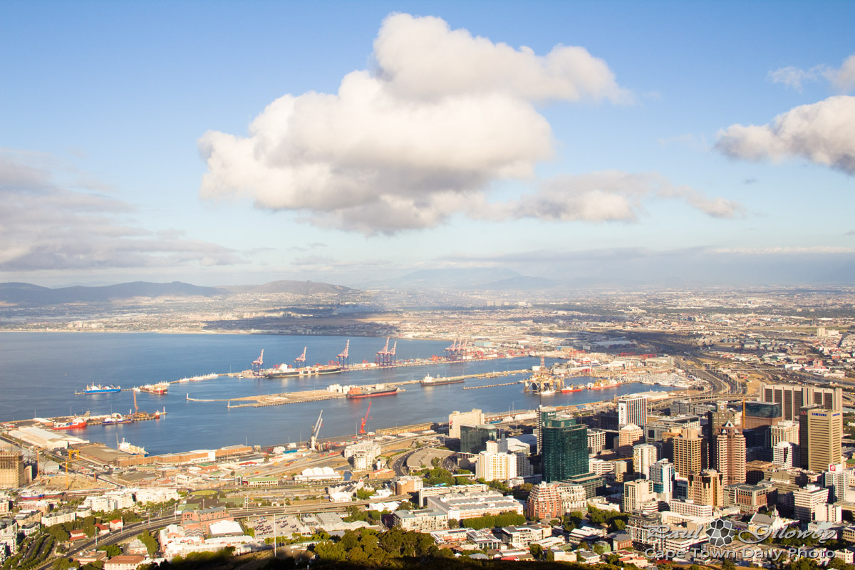
Clouds and the City Bowl

The area straight ahead and to the right in this photo (on the slopes of Table Mountain and Devil's Peak) are the residential areas of Vredehoek, Gardends, and Oranjezicht. While they're beautifully located, with exquisit views of the city and mountians, those specific residential areas are known to be extremely (like as in very very extremely) windy.
I wouldn't mind living there for a couple of months, but I'm not sure that I'd enjoy settling down there.
Inner City : R5 Store on Plein Street
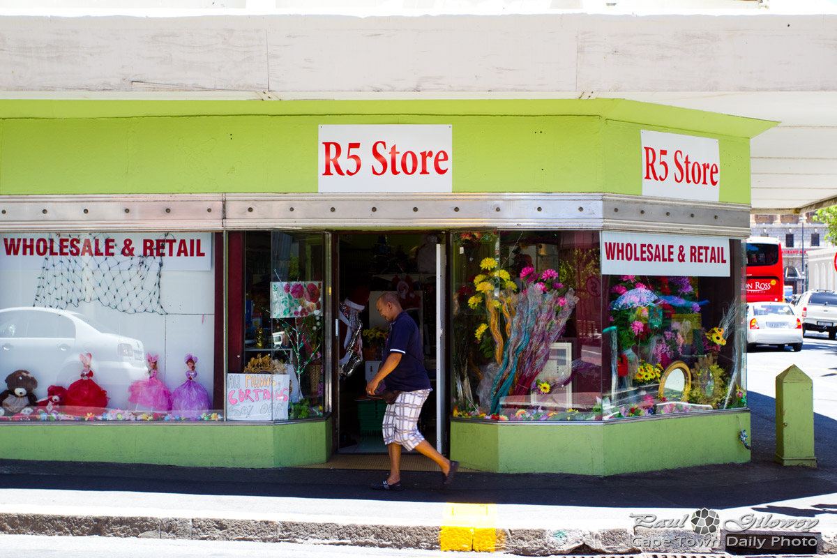
I never crossed the road to actually walk inside and take a look. But I can't imagine that the 50%-off pillows and curtains sign in the window could mean that they'd be selling curtains for R2.50, or could it? And, could that mirror, the frame, and those flowers all cost R5 each? That's insane. I'll make a mental note to inspect the store next time I'm in the area!
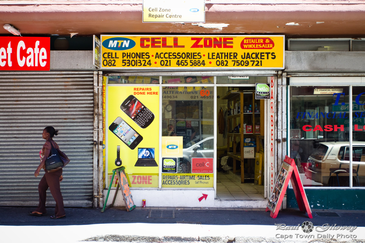
Inner City : Cell Zone on Plein Street
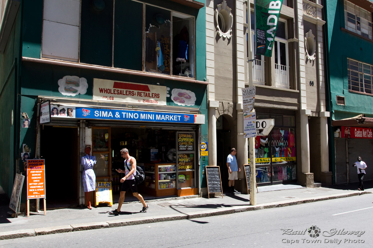
Inner City : Sima & Tino Mini Market on Plein Street
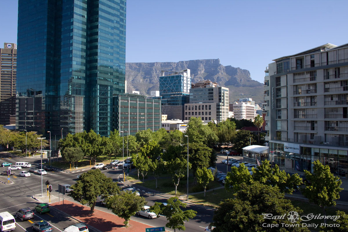
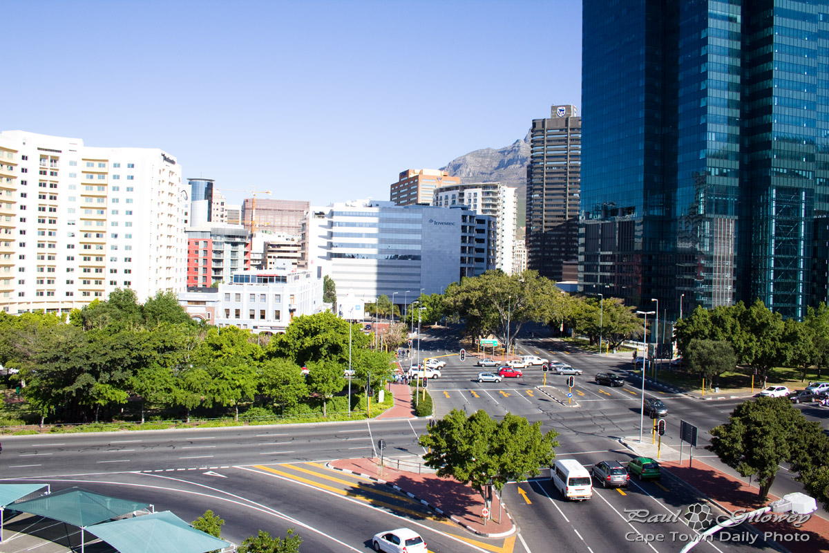
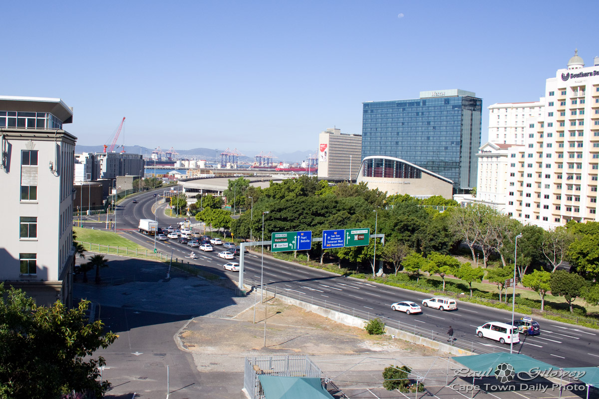
Cape Town city streets
Traffic in Buitengracht Street
Saturday morning on Buitengracht street
Following the fan walk
Where the street has no name

This road reminded me a little of San Francisco. Not that Cape Town is by any means as hilly, but still, I find the rises in the distance somewhat reminiscent of that great West Coast city.
The Golden Acre underground mall

I used to work in the city a few years ago, and at that time I appreciated it greatly - not for the stores, but for the underground walkways. They offered a way to avoid having to wait for traffic lights to cross busy roads, and also provided shelter from the rain for much of the 10 minute walk between the train station and our office building.
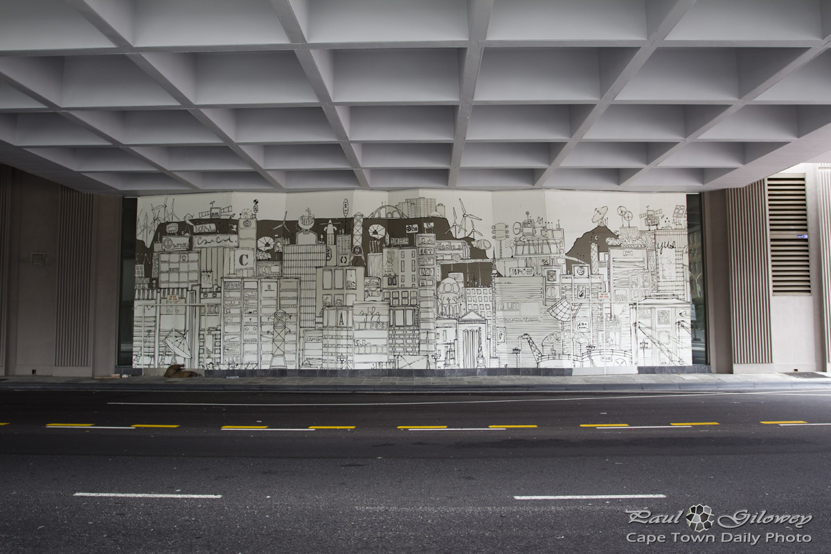
A mural, of sorts
Cape Town Civic Centre
Before I die I want to…

Visit her website to see dozens of far-more-awesome photos of the original as well as similar walls in Brooklyn, Johannesburg, Mexico and Kazakhstan.
A rhino [mural] in Kloof Street
![A rhino [mural] in Kloof Street](http://www.capetowndailyphoto.com/wp-content/uploads/2012/12/rhino_121117_IMG_3156.jpg "A rhino [mural] in Kloof Street")
Can you imagine a day when the rhino no longer wanders the African bushveld, when they're but history in a textbook? That would suck.
Table Mountain and the city bowl

Cracked glass

A view of Devil’s Peak

See the city

The bus leaves from the V&A Waterfront, just outside the aquarium. As you can see from the front of the bus, this is the "Blue Mini Peninsula Tour" which basically traverses the city, takes a drive over Kloof Nek, down to Camps Bay, and along the coast back towards Sea Point, ending back where you started at the V&A Waterfront.
Do this trip if you have half a day available of if you'd prefer to spend a long time at hop-off spots - you're sure to enjoy it. As an alternative you could take the day-long tour that goes via Kirstenbosch Botanical Gardens, over to Hout Bay, and back along the coast past Camps Bay, Sea Point, also returning to the V&A Waterfront.
In close proximity

Buitenkant Street

A view of the city

Cloud crawls in from Table Bay

I arrived in the city - the mist was thick and the sun shone brightly from above, silhouetting buildings and bridges though the cloud. It was the strangest feeling driving from a place that was sunny and warm (only 25 kilometers away) to a chilly city filled with cloud.
Doesn't the cloud out in the bay look awfully ominous?
Table Mountain trip : The city view (8#10)

How many cities in the world are so perfectly located? Cape Town finds herself on the edge of the large bay known as Table Bay, and she's cradled by Signal Hill, Lion's Head, Table Mountain and Devil's Peak.
Take a moment to click on the photo to see a large version. Where in the world have you seen a city that has a tall flat-top mountain that's so easily accessable to everyone visiting her? It's not often that cities have such a prominent structure that rises 1km into the sky and gives visitors a 360° aerial perspective of the city. We're truely priveledged to live in a city built on the slopes of Table Mountain.
I know that I may sound awfully dramatic (and perhaps a little over-exited), but no matter how many times I'm go up there, I never get tired or blasé about the view from the top. It's truly and amazing perspective on the city.
Old Cape Town

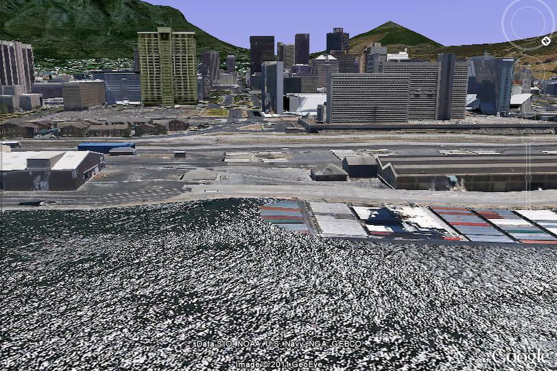
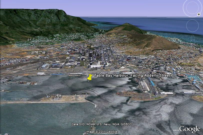
Isn't it crazy how much Cape Town has changed over the years? This view of Cape Town (from the harbour) shows Table Mountain on the left and Lion's Head on the right. The road that you see stretching across the water, into the city, is Adderley Street - our cities main road.
Take a look at these two photos that I grabbed from Google Earth - they show a modern version of the same view as the main photo. You'll notice that although Adderley Street still leads to the harbour area, it no longer allows direct access to the harbour, and the bridge that use to extend over the water has long since disappeared.
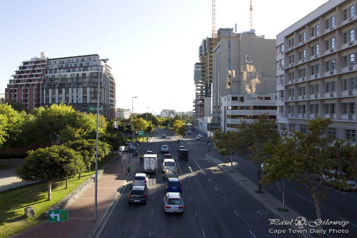
Accidents and adverts

The sign may not look that large in this photo, but did you notice the huge advert for the iPhone 4 against the side of the building on the left? That poster looks absolutely huge when viewed from your car on Eastern Boulevard. Because it's located next to a part of the road where lanes merge and traffic is accelerating out of the city, I find it dangerously distracting - especially if the advert is particularly eye-catching.
I've actually erected a mental block, forcing myself not look at the sign when traveling along that stretch of road!